


Carrick a Rede
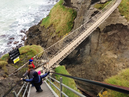
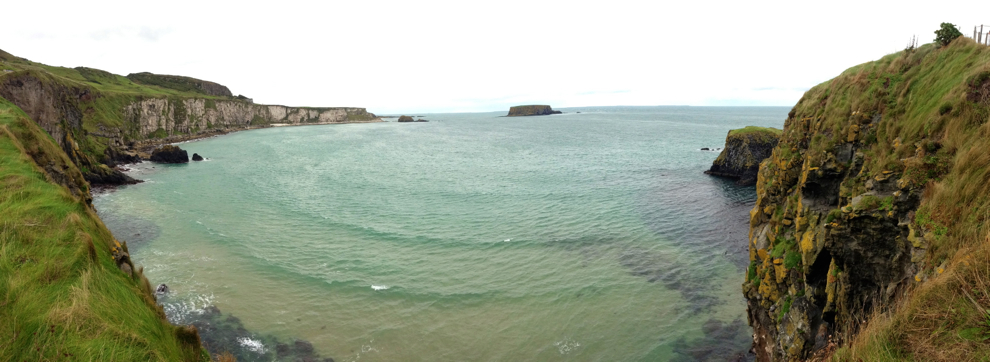
Carrick a Rede Rope Bridge is a rope bridge close to Ballintoy in Northern Ireland. It is an amazing and terrifying experience. Cross the 20 meter suspension bridge over a gorge onto a small island as salmon fishermen have been doing for over 350 years. The cliff-side trail offers spectacular views of the coast, and on a clear day offers magnificent views of Rathlin Island and the rolling coast of Scotland.
Jump down to:
Carrick a Rede Map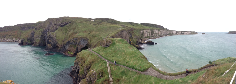
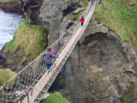
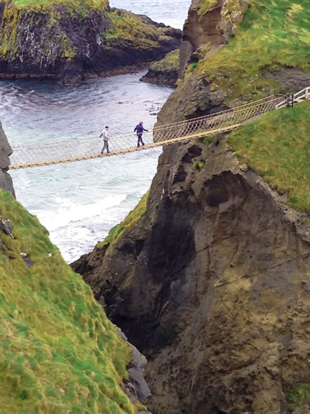 Carrick-a-Rede is the most famous rope bridge on the Emerald Isle. Spanning 66 feet, the bridge is suspended almost 100 feet above the water and rocks below.
Run by the National Trust, visitors can pay to access the walking trail and cross the bridge.
The trail TO the bridge is a considerable walk for little children and elders who need assistance walking, though it is possible to get TO the bridge with a wheelchair, but not possible to cross with one as there are numerous steep stairs leading down to, and up from the bridge. It's quite a thrill... and quite scary once you get out into the middle of the bridge as it's a LONG WAY DOWN.
Our kids happily marched across the bridge, while we held on tightly. It's SAFE, but just being that high above the water with only a few boards and ropes holding you up is... confronting.
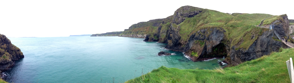
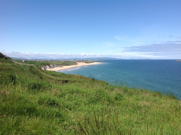
The cliff-side trail offers spectacular views of the coast, and on a clear day offers magnificent views of Rathlin Island and the rolling coast of Scotland.
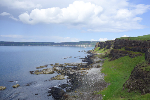
Geology of the Carrick-a-Rede coast
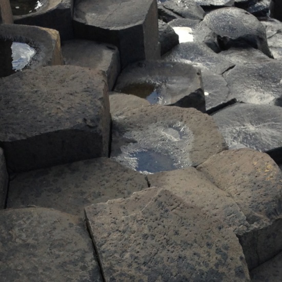
"Carrickarede island is the best example of a volcanic plug in Northern Ireland. Marine erosion has exposed a section through the neck of this old volcano. The presence of tuff, explosion breccias, grey volcanic ash and explosion bombs show the extreme violence of the eruptions about 60 million years ago when molten rock punched its way through chalk.
Along the coast of this area, as with much of the Antrim plateau, the cliffs are of basalt with the characteristic Ulster chalk underneath. At Carrickarede, the ancient volcanic pipe has left dolerite, a tougher rock than basalt, which erodes more slowly. Behind the dolerite, to the south, the vent is filled with pyroclastic rocks that break down more easily, mostly a coarse tuff agglomerate. The combination of the hard rock out front and the softer rock behind, with long term erosion by the waves, has eventually left this small island."
Source: Wikipedia
Map to Carrick a Rede:
Tap the markers for information or pinch and zoom to pan around the map.
If you ARE IN NORTHERN IRELAND you can use these links to open this location in Google Maps or Apple Maps Apps!
Top Locations to visit on the Causeway Coast of Northern Ireland:
The Giants Causeway
Coleraine
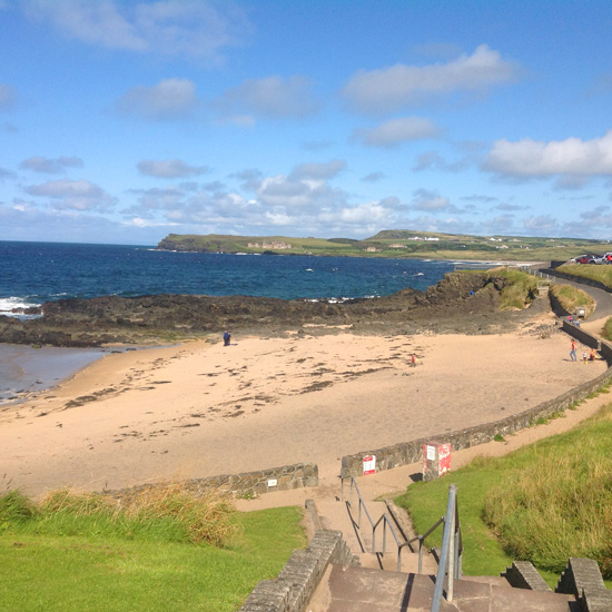
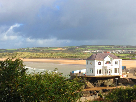
Ballycastle Strand
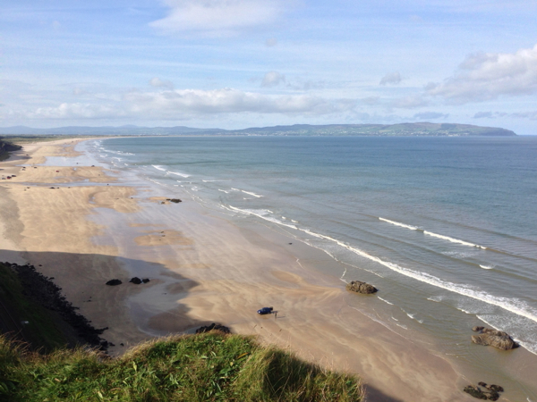
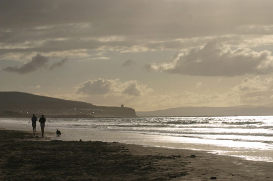
Benone Strand
Carrick a Rede
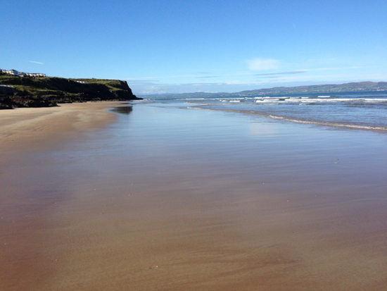
Castlerock Beach
Downhill Beach
Downhill Demesne and Hezlett House
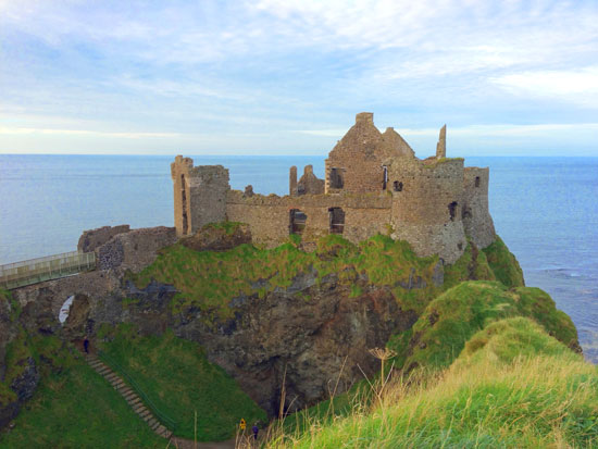
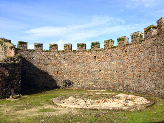
Dunluce Castle
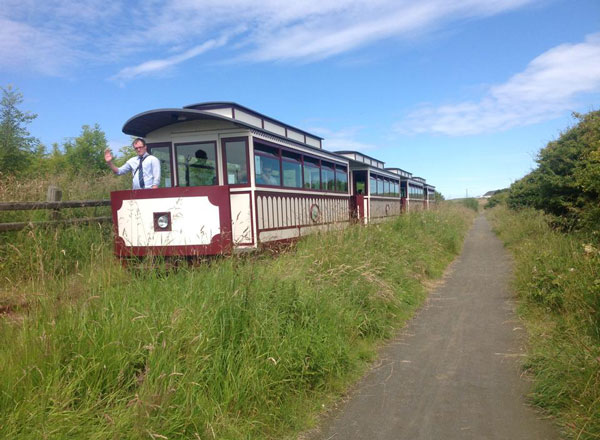
Giants Causeway and Bushmills Railway
Mountsandel Fort
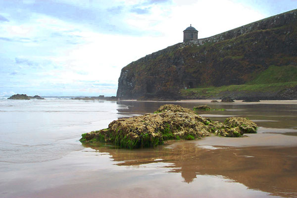
Mussenden Temple
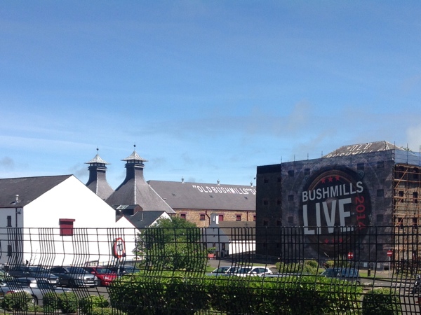
Old Bushmills Distillery
Portrush East Strand
Portstewart Strand
Rathlin Island