


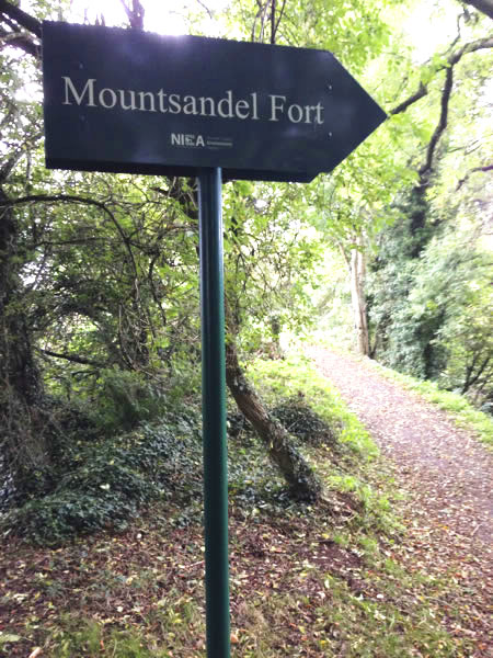
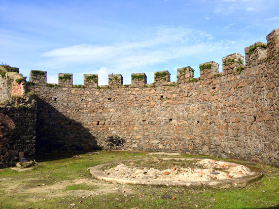
Mountsandel Fort
Located in the middle of the gorgeous Mountsandel Forest is the the remains of Mountsandel Fort. The Fort is a State Care Historic Monument which dates back to 7000BC and the early Mesolithic and Iron Ages. It sits on the edge of a steep river bluff which falls into the River Bann. You can reach it via a 2 mile circular walking trail taking either a lower or upper path through the forest and along the banks of the River Bann.
Jump down to:
Mountsandel Fort Map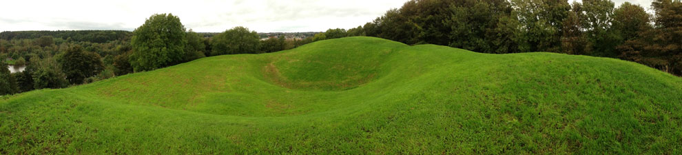
 Finding Mountsandel
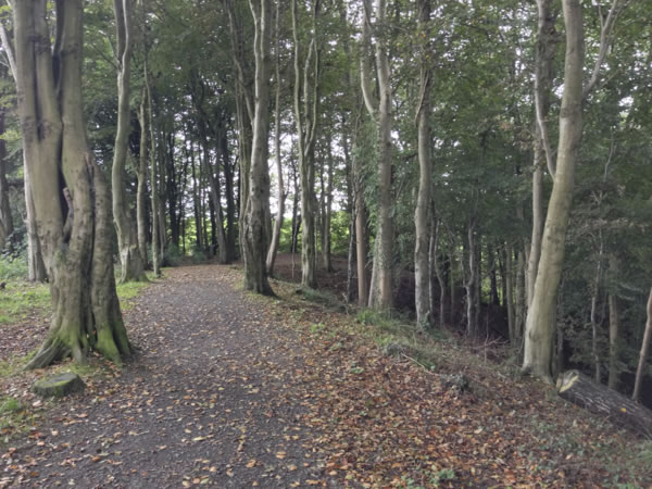
Mountsandel Fort is located in the middle of the gorgeous Mountsandel Forest. You can reach it via a 2 mile circular walking trail taking either a lower or upper path through the forest. We usually take the upper path TO the fort as it always seems less strenuous, as you approach the Fort from the top.
Mountsandel Wood
The forest is gorgeous. Beautiful walking paths take you all throughout the forest and to Mountsandel Fort.
The forest itself is on the banks of the River Bann. There is a small jetty which gives you an excellent view of both the 'New Bridge' which is officially called the Sandelford Bridge (1975) and the 'Old bridge' which is named the Bann Bridge (1844). The walk from the carpark down to the jetty is a gentle walk for those who are physically fit.

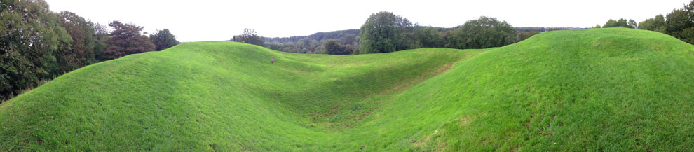
 The Fort at Mountsandel
The remains of the fort also provide a fun time for children and adults who love to run and play. You can walk or run all around the grassy large edges and into the central dip. You get an amazing view over the River Bann and what's known locally as the 'Waterside' of Coleraine.
As a child growing up in Mountsandel my wife spent the equivalent of months in this delightful woodland with so many wonderful ways to explore it!
For those who like a longer walk, you can keep on walking through the forest and come out further up the Mountsandel Road.
How old is it?
 Mountsandel has been dated in the Mesolithic period, this is 4,500 years before Stonehenge, 5000 years before the pyramids (and King Tutt), and almost 7000 years before the building of the Great Wall of China.
So long ago it has it's own terminology.
Mountsandel is a Mesolithic Site (the Mesolithic age is between the Paleolithic and the Neolithic periods of the Stone Age dating back to around 7000BC).
This historical site at Mountsandel is said to be the oldest archaeological site in all of Ireland, and is a Scheduled Historic Monument.
 Upon excavation in the late 1970's a small prehistoric camping ground, for a small family community, was uncovered.
The remnants of buildings that belonged to the very first recorded Irish settlers.
In other words, Mountsandel Fort is OLD.
And here for you to visit.
Map to Mountsandel Fort:
Tap the markers for information or pinch and zoom to pan around the map.
If you ARE IN NORTHERN IRELAND you can use these links to open this location in Google Maps or Apple Maps Apps!
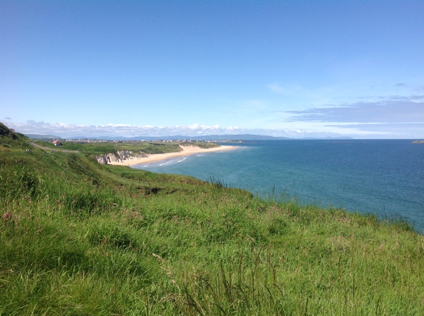
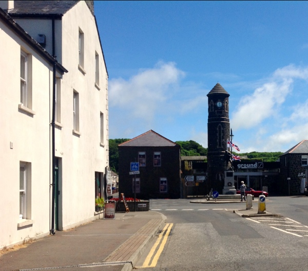
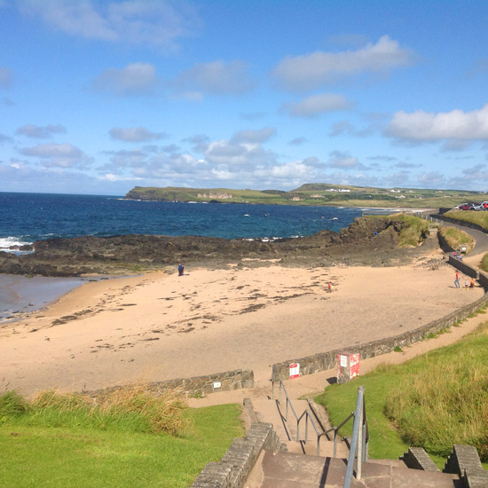
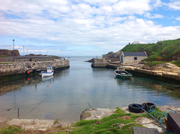
Top Locations to visit on the Causeway Coast of Northern Ireland:
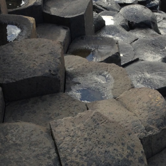
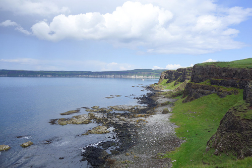
The Giants Causeway
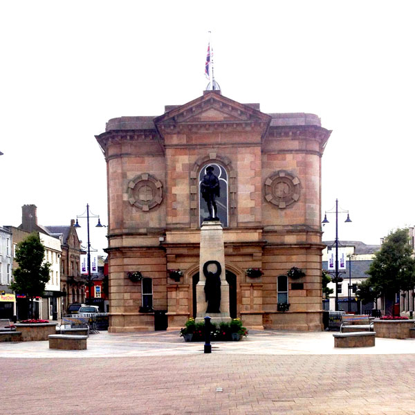
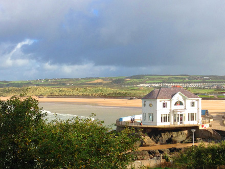
Coleraine
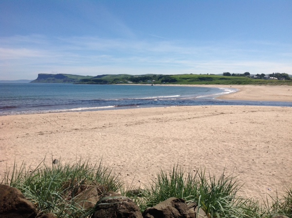
Ballycastle Strand
Benone Strand
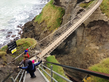
Carrick a Rede
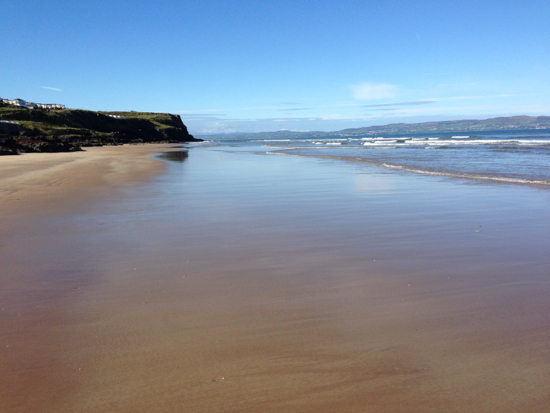
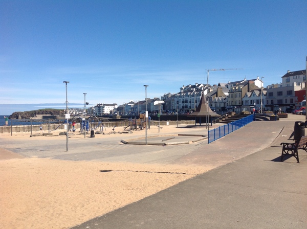
Castlerock Beach
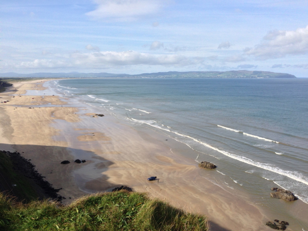
Downhill Beach
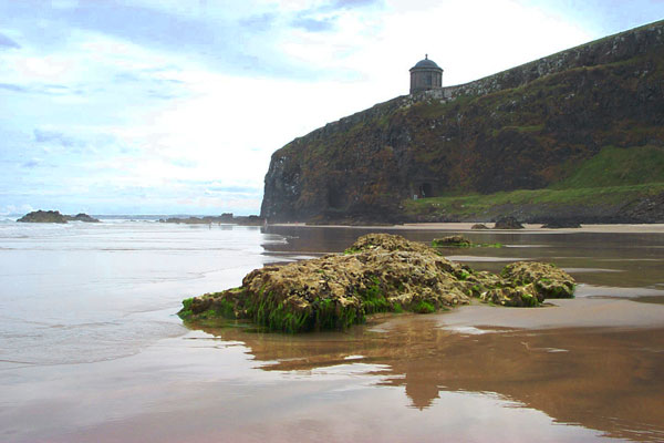
Downhill Demesne and Hezlett House
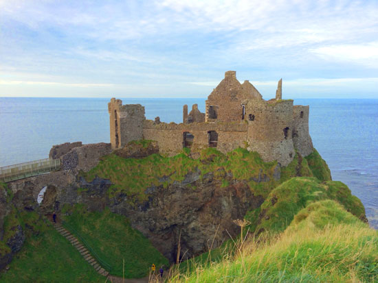
Dunluce Castle
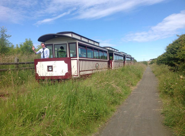
Giants Causeway and Bushmills Railway
Mountsandel Fort
Mussenden Temple
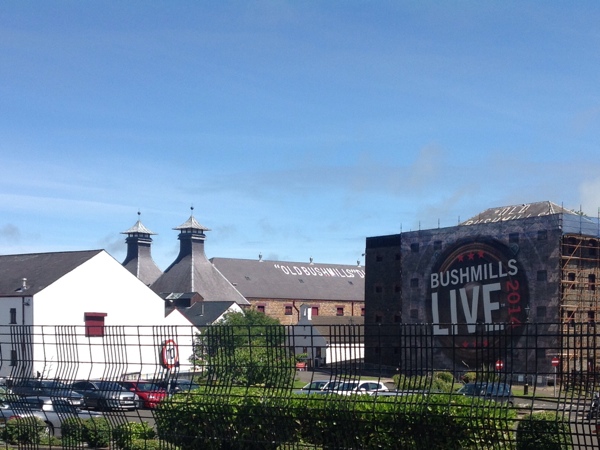
Old Bushmills Distillery
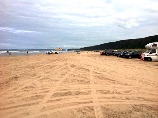
Portrush East Strand
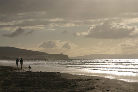
Portstewart Strand
Rathlin Island