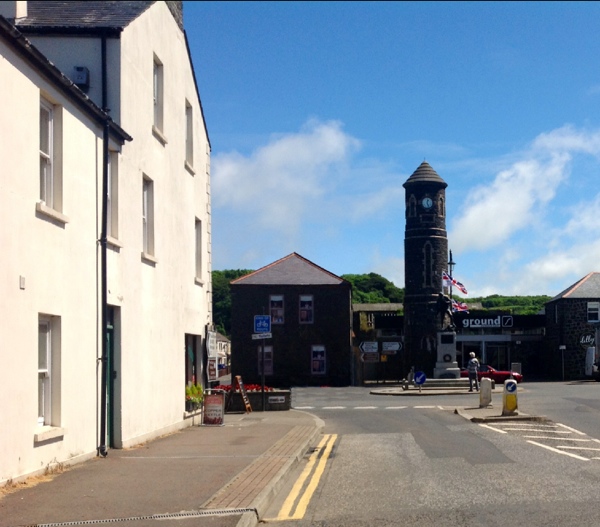

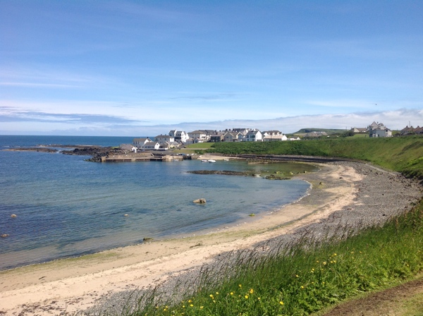


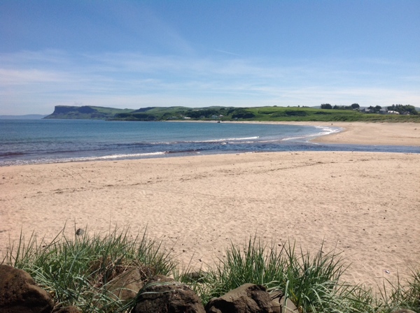
Magilligan
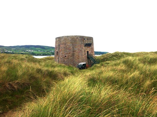
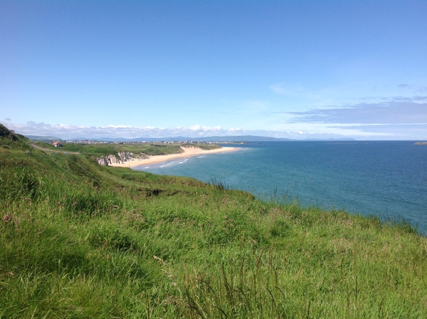
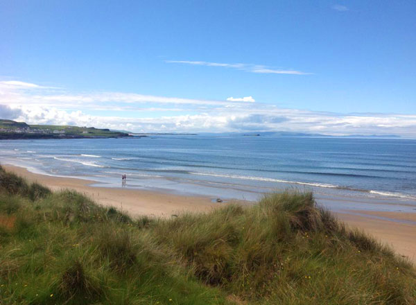
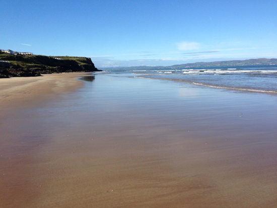
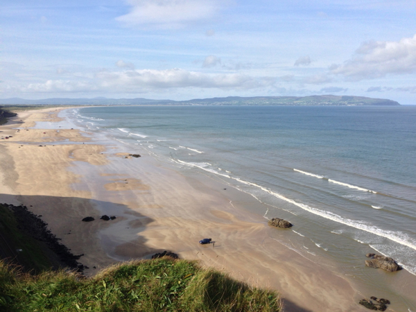
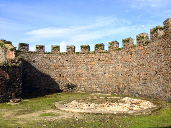
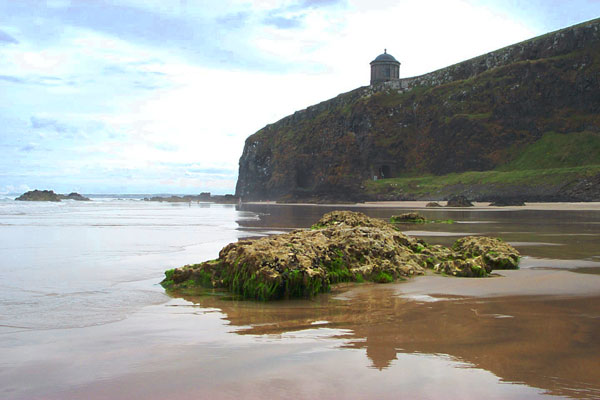
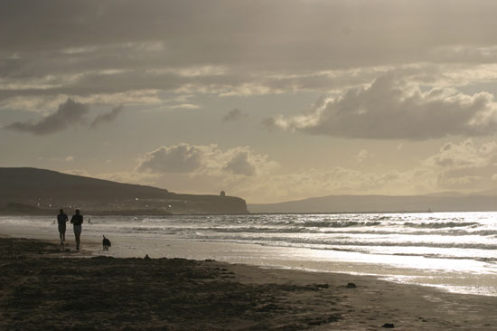
Magilligan is an area of both historic and conservational significance. The Martello Tower at Magilligan Point is an example of the small defensive forts which were built as a defence against a possible attack from the forces of Napoleon during the 19th Century. Magilligan Beach is one of the most studied coastal landforms in the region.
Jump down to:
Magilligan Map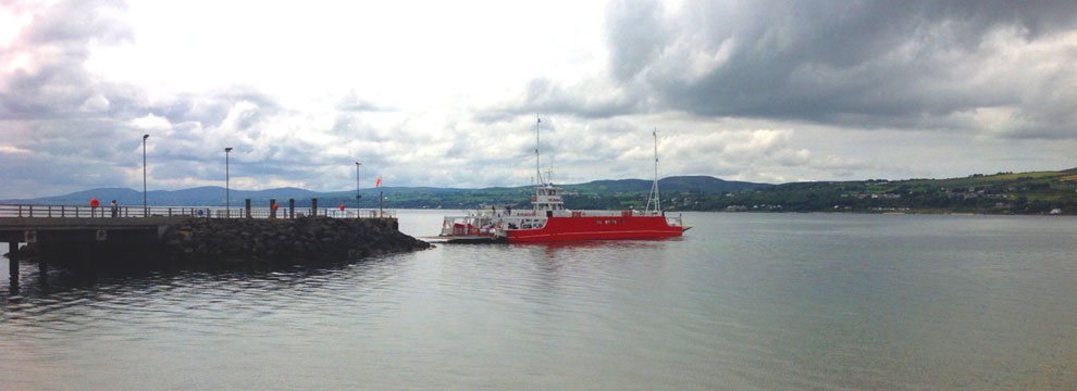

Magilligan Point and Beach
Ferry to Donegal

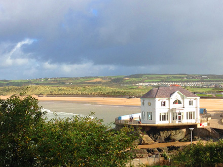
Magilligan - Greencastle: The Lough Foyle Ferry Company, founded in 2002, operates a ferry from Magilligan Point, County Limavady to the Inishowen Peninsula of County Donegal at Greencastle. The tickets are very reasonably priced, the ferry leaves every hour and is fun for all the family with Donegal a splendid destination!
The ferry post sailing times on the Lough Foyle Ferry website. A peaceful, scenic 15 minute ferry ride across the mouth of the Foyle.
Blue above and below, green to all sides, one of the nicest short ferry rides.

Protection from Napoleon
Special Area of Conservation
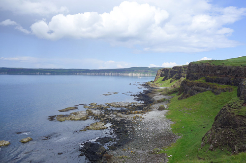
Magilligan is a recognised as a Special Area of Conservation (SAC) plus as a Area of Special Scientific Interest (ASSI). Magilligan Foreland is 20 miles long and 'Ireland's Largest Coastal Accummulation'.
Sand dunes are perfect examples of planetary 'Air Bending' and should always be treated with respect. No other Northern Ireland site has "as great a number of dune grassland and dune slack plant communities" according to The Department of the Environment.
'Sand dunes are dynamic elements of the landscape. They grow when sand is deposited on the beach by longshore drift or shoreward movement of sediment. As the sand dries between periods of high tide, it can be blown landwards and trapped by plants to become the beginnings of a sand dune system.'
(www.geographyinaction.co.uk)
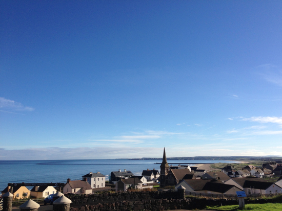
Lough Foyle
Lough Foyle is an Area of Special Scientific Interest (ASSI) and also a Ramsar Site in 3 criterion:
- A 'wetland complex which plays a substantial hydrological, biological and ecological system role in the natural functioning of a major river basin located in a trans-border position'
- 'It supports an appreciable number of rare, vulnerable or endangered species of plant and animal. A range of notable fish species have been recorded for the Lough Foyle estuary and the lower reaches of some of its tributary rivers. These include Allis shad, Twait shad, smelt and sea lamprey, all of which are Irish Red Data Book species. Important populations of Atlantic salmon migrate through the system to and from their spawning grounds.'
- 'It supports a large number of wintering waterfowl including internationally important populations of Whooper swan, Light-bellied Brent goose and bar-tailed godwit, as well as wildfowl species which are nationally important in an all-Ireland context, including red-throated diver, great crested grebe, mute Swan, Bewick's Swan, greylag goose, shelduck, common teal, mallard, Eurasian wigeon, common eider, and red-breasted merganser. Nationally important wader species include Eurasian oystercatcher, Eurasian golden plover, grey plover, lapwing, red knot, dunlin, Eurasian curlew, common redshank and greenshank.'
~ The Royal Society for the Protection of Birds has a Reserve at Lough Foyle, Wikipedia
Ramsar for the conservation and wise use of wetlands
The Convention on Wetlands of International Importance, called the Ramsar Convention, is an intergovernmental treaty that provides the framework for national action and international cooperation for the conservation and wise use of wetlands and their resources.
http://www.ramsar.org/
Map to Magilligan:
Tap the markers for information or pinch and zoom to pan around the map.
If you ARE IN NORTHERN IRELAND you can use these links to open this location in Google Maps or Apple Maps Apps!
Top Locations to visit on the Causeway Coast of Northern Ireland:
The Giants Causeway
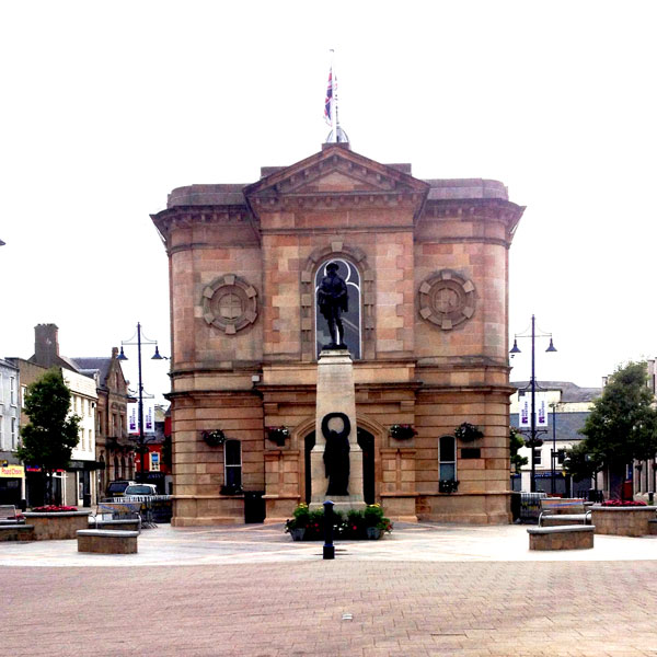
Coleraine
Ballycastle Strand
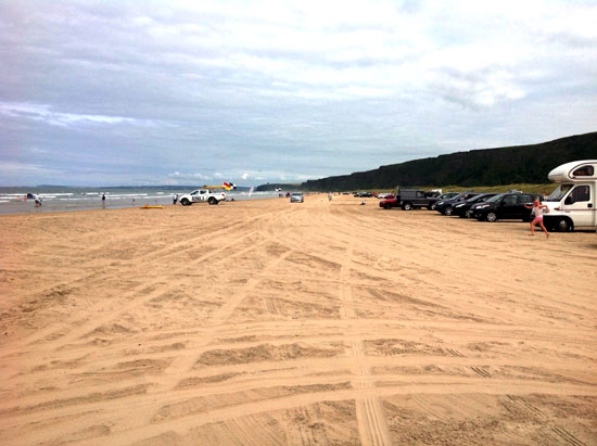
Benone Strand
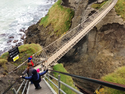
Carrick a Rede
Castlerock Beach
Downhill Beach
Downhill Demesne and Hezlett House
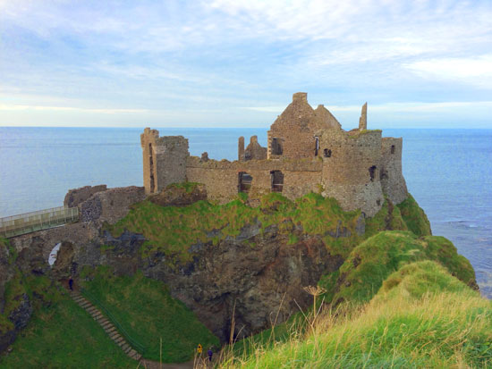
Dunluce Castle
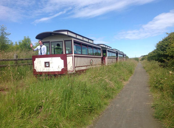
Giants Causeway and Bushmills Railway
Mountsandel Fort
Mussenden Temple
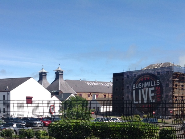
Old Bushmills Distillery
Portrush East Strand
Portstewart Strand
Rathlin Island